Transcript
NARRATOR:
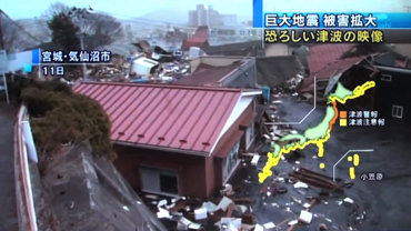
December 26, 2004. What began as an undersea earthquake in the Indian Ocean ended as the most deadly tsunami in recorded history, with nearly 240,000 lives lost.
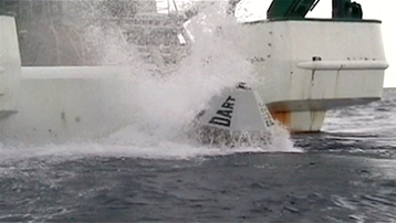
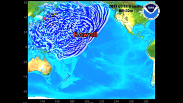
This was a devastating wake-up call to coastal communities and tsunami research. Prior to this event, only six of NOAA’s Deep-ocean Assessment and Reporting of Tsunami, or DART, buoys were in place. Scientists could only predict tsunami arrival times, not flood potential. And there was not a global tsunami warning system.
Today, ten years later, we can tell a different story. U.S. and international coastlines are far better prepared for such a catastrophe, thanks in large part to research and technology developed at the NOAA Center for Tsunami Research at Pacific Marine Environmental Laboratory.
NOAA’s DART array is now complete, with 39 buoys operated by the National Weather Service’s National Data Buoy Center. Along with 21 international buoys, this array can measure a tsunami wave as small as one centimeter in the open ocean and provide these data in real-time to forecast when a tsunami may hit the coast and how much flooding there will be. NOAA scientists and engineers are currently testing the fourth generation DART buoy that will be able to measure local tsunamis as well as distant ones.
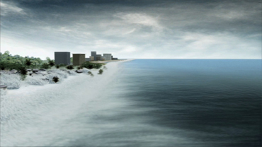
Flooding forecast models incorporate local topography and historical tsunami data in order to more accurately predict exactly how a tsunami might behave when it reaches shore. NOAA has 75 site-specific models that can provide high-resolution flooding forecasts for effective response and mitigation during a tsunami event.
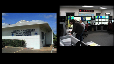
NOAA has gathered data from every tsunami since 2004 to improve its forecast models. Today, it operates the world’s only real-time tsunami flooding forecast system, using DART data to accurately compute flooding forecasts. The NOAA Tsunami Warning Centers make tsunami data available on the internet, and issue advisories, watches and warnings through the Emergency Alert System and via NOAA Weather Radios.
While it is impossible to prevent a tsunami, we are now much better prepared to detect them and predict their paths and impacts, so those in coastal communities can take the steps necessary to safely protect themselves.
 An official website of the United States government.
Here's how you know we're official.

