U.S. flag An official website of the United States government.

dot gov icon Official websites use .gov

A .gov website belongs to an official government organization in the United States.

https icon Secure websites use HTTPS

A small lock or https:// means you’ve safely connected to a .gov website. Share sensitive information only on official, secure websites.

Tracking Tsunamis

Learn how you can track a tsunami wave by using NOAA’s real-time forecasting system.


Transcript

NARRATOR:

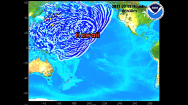
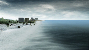
Tsunami – a killer wave – speeding across the ocean at 400 miles an hour.
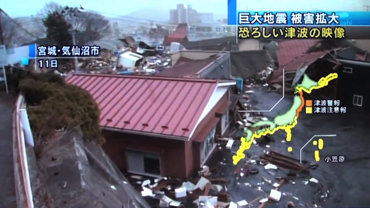
It smashes into land destroying everything in its path. Tsunamis do not have a season. But they can strike any coast at any time. If one forms close to the shore, the shaking of the earth and a loud roar may warn of its approach. But when a tsunami forms across the ocean, it can take hours to reach the shore – enough time to warn people to move to higher land.

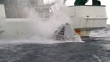
Over the past twenty years, NOAA has developed DART: a real-time monitoring system that provides data for forecasting tsunamis. The DART systems have been deployed in earthquake prone areas throughout the ocean, including the Pacific and Indian basins. A DART system combines a surface buoy and a sensor on the ocean floor. This sensor detects changes in water pressure and seismic activity and transmits the data back to the surface. If these changes indicate a tsunami may form, the buoy signals an alert via satellite to the Tsunami Warning Centers in Alaska and Hawaii.

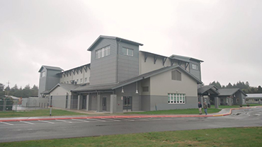
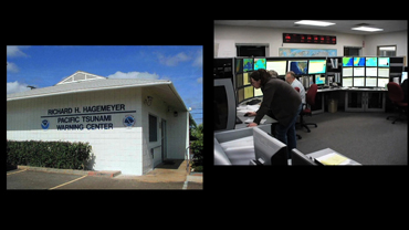
Back at the Centers, scientists plug the data into pre-existing models. These models predict the height, the arrival time, and the coastal locations that the tsunami will hit. Watches and warnings are issued to the affected communities so preparations can begin.

Today, 47 DART stations are positioned all around the world ready to detect and warn coastal communities about the next potential tsunami. With the DART system and Tsunami Warning Centers in place, we are now better prepared to predict a killer wave before it strikes.