NARRATOR:
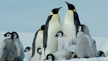
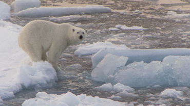
If all of the ice in the Arctic Circle were to melt, life for Arctic animals and for people all over the world would be dramatically different – and not in a good way.
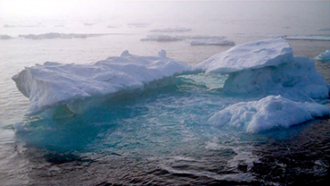
That is why measuring how much is there, how thick it is and how fast the ice is melting -- both on land and in the ocean -- is so crucial for understanding what is happening in a changing Arctic.
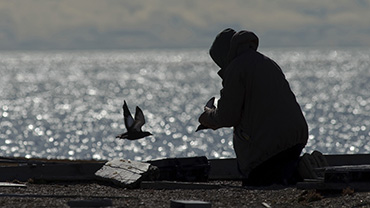
It’s a challenge to make ice measurements in the unbelievably harsh environment of the polar regions. Scientists can reach the ice by boat or plane to make on-site, or “in situ” measurements, and satellites, aircraft, and buoys can take readings remotely.
Since 1979, scientists have been using satellite images to create an outline of the dimensions of sea and land ice. And since it’s not just the area of ice that matters, but the thickness - satellites do that too. Some satellites measure small changes in gravity that reveal where ice sheets are losing mass, while others use lasers to measure the height of ice above the land.
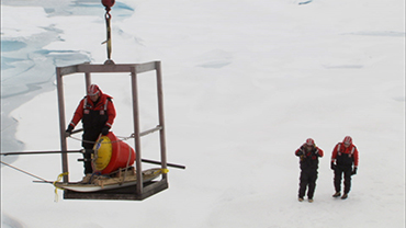
To understand how fast sea ice is melting, scientists put underwater buoys, called moorings, at strategic locations in the Arctic. Moorings are especially good for calculating how much warm water is flowing north into the region. Devices are attached to the moorings that collect data on temperature, salinity, nutrients, currents, and the thickness of the ice above it.
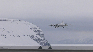
Scientists also use manned and unmanned aircraft systems. The aircraft carry the latest measurement technology - atmospheric temperature and pressure sensors, ice-surface temperature sensors, gravimeters, and laser range finders. The data collected from these instruments allow researchers to create 3D digital elevation models, which help calculate the thickness of the ice sheet.
By putting all of this information together, scientists can get a more accurate picture of how Arctic ice is changing both on the land and in the ocean.
 An official website of the United States government.
Here's how you know we're official.
An official website of the United States government.
Here's how you know we're official.