NARRATOR:
Every year you start out with zero. Zero miles flown, zero data collected. This year IceBridge started out with another big zero - there were no aircraft available for the mission, as NASA's decades-old P-3 was getting re-winged.
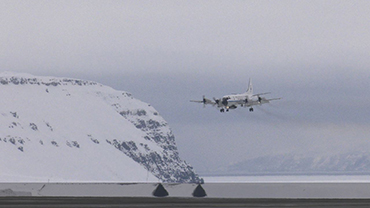
So the team turned to their friends at NOAA for help. And the got...Miss Piggy – another P-3 aircraft and a veteran of 88 hurricane missions from Floyd to Francis to Katrina. Operated by a crack flight crew ready to tackle the far frozen north for the first time.
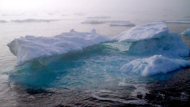
After installing IceBridge's many instruments into the aircraft, performing needed maintenance, and flying a few test flights over Tampa Bay, the IceBridge team was finally ready to go. The team's first target was to take measurements of sea ice in the Arctic Ocean, and after a few weeks, IceBridge had achieved solid coverage of the western Arctic Basin.
And on one mission, even grazed the North Pole itself, coming within 200 meters of the top of the world. From there the mission changed its focus to northern land ice, and after waiting days for the fog to lift, finally managed to hit a crucial target – the Zachariah Istrom. This massive glacier drains 5 percent of the Greenland ice sheet, and in 2012, entered into a phase of rapid retreat, making repeat measurements all the more crucial.
Finally, the mission hit a range of classic land ice targets in South and Central Greenland, including the Jacobshavn Glacier in the west and Helheim in the east. These measurements, taken at the end of the freeze cycle, will provide a good baseline for IceBridge's next campaign a high-altitude repeat of many of the same flight paths at the end of the melt season.
Comparing the two data sets will reveal exactly how the ice has changed over the summer.
 An official website of the United States government.
Here's how you know we're official.


